
Arctic permafrost atlas
Lead editor and cartographer for the Nunataryuk Arctic Permafrost Atlas. An EU H2020 funded project with GRID-Arendal and over 25 scientific partner organizations. (ongoing)

Geographies of the holocaust
Designing a new cartographic language to analyze and convey the experiences of Holocaust survivors. With Anne K. Knowles and the Geographies of the Holocaust Collaborative. (ongoing)

Mare Nullius?
Creating legal and GIS scenarios to investigate the possible impacts of climate change on maritime boundaries in the Pacific region. With UiB. (completed)

Developing a GIS model to predict plastic debris accumulation on the Norwegian coastline. With GRID-Arendal and SALT. (completed)
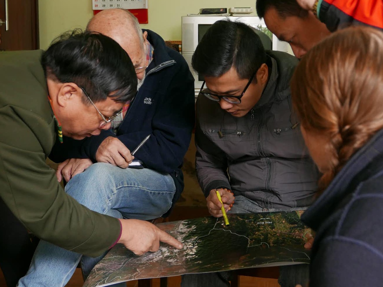
Protected Area Solutions
Producing GIS and mapping solutions to support protected areas in Vietnam and for the global Green List initiative. With GRID-Arendal and IUCN. (completed)


NOMADIC HERDERS / GLOBIO
Supporting stakeholder engagement and knowledge sharing through participatory mapping activities in Finnmark, Norway. With GRID-Arendal and ICR. (completed)

Developing a drone and GIS model to quantify mangrove carbon sequestration capacity in the UAE. With GRID-Arendal and AGEDI. (completed)

臺灣人口普查互動地圖 / Taiwan Census Explorer
Building the online Taiwan Census Explorer interactive atlas. With the National Taiwan University Lab for Geo-computational Sciences. (completed)